Haute Route Pyrenees Maps
Open Street Map (OSM) with the Cicerone Guide info marked on it.
An overview map (should!) show the route decribed in the Cicerone Guide to 'Trekking the Pyrenean Haute Route'. View the map here.
Carte de Randonees 1:50,000 series
The Carte de Randonnees 1:50,000 Hiking Maps. Available from stanfords.co.uk. Can also be purchased from Amazon and Ebay. I did however find that although the maps are ajoining; on one section, some clever cartographer decided to put the cover & key on the section of the maps where the trail passes, so I was in fact missing a section. This section I completed with a screen shot of the online Open Street Maps.

OpenStreetMaps.org
Open Street Maps (OSM) are a free online map. Best viewed using the 'Cycle Map' Map Layer - one the right had side of the maps. See the map here.
Maps.me
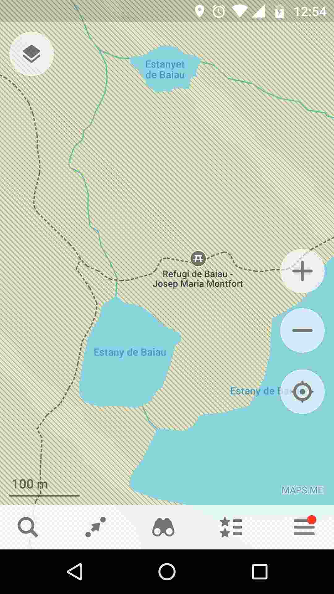
A great app for both Android and iOS is Maps.me. It is based on OpenStreetMaps.org (above) and is downloadable and usable offline. I found it invaluable at times when my 1:50,000 map just didn't have the detail needed and the trail was poorly defined on the ground. Highly recommended for both mountain and city use! Remember: Don't rely on electronic mapping for navigation in the mountains; use it as a suppliment to paper maps and route finding skills.

The Haute Route (High Route) Pyrenees (HRP) trekking trail from Hendaye to Banyuls-sur-Mer in the French, Spanish and Andorra Pyrenees mountains. Trekking routes.
Copyright © TravelTrekRun.com 2018 - 2026 | Contact: hello@traveltrekrun.com
TrekBariloche.com | Trek El Bolson | Trek Chile

